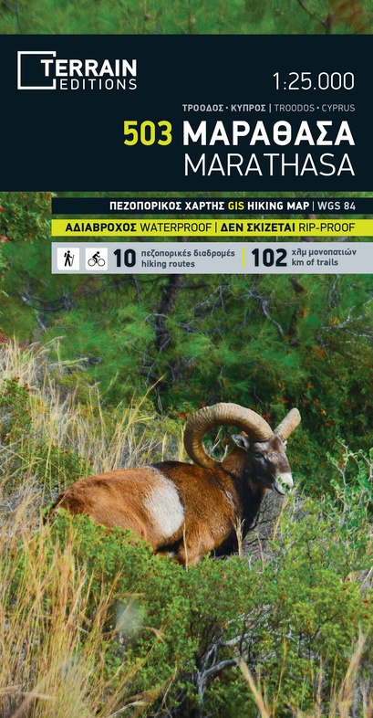
Wandelkaart 503 Marathasa klimkaart | Terrain maps (9786185160104)
- ISBN / CODE: 9786185160104
- Editie: 01-06-2019
- Aantal blz.: 1
- Schaal: 1:25000
- Uitgever: Terrain maps
- Soort: Wandelkaart
- Serie: Hiking & touring maps
- Taal: Engels, Grieks
- Hoogte: 25.0 cm
- Breedte: 13.0 cm
- Gewicht: 78.0 g
- Uitvoering: Scheur- en watervast
- Bindwijze: -
- Schrijf als eerste een review
-
€ 12,95
Leverbaar in 3 - 5 werkdagen in huis in Nederland Levertijd Belgie
Gratis verzending in Nederland vanaf €35,-
Beschrijving
Van de uitgever
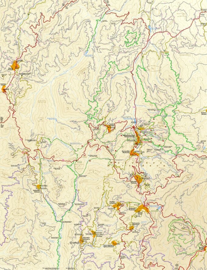
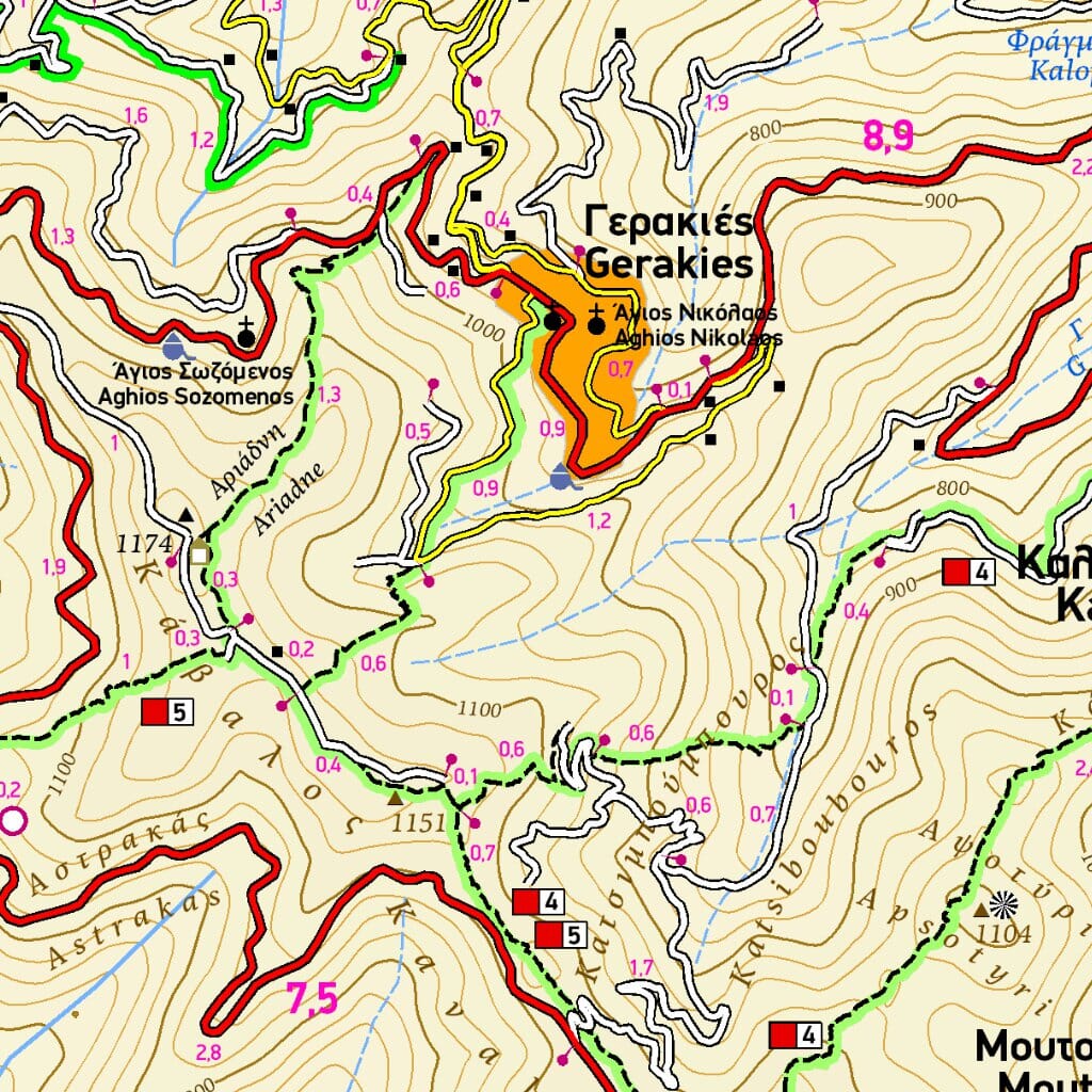
This map of Marathasa by TERRAIN is the first hiking map of modern technology (GIS) to be published for an area of Cyprus. It covers an area of approx. 350 sq.km. right in the heart of Troodos mountain range, an area covered with a dense pine forest and criss- crossed by many beautiful signposted trails and hundreds of km of forest roads ideal of hiking and exploration!
102 km OF HIKING TRAILS, all marked with red shading, the name or number for signposted trails, and distances from junction to junction.
770 km OF DIRT ROADS, ideal for mountain-biking and hiking.
ALL SIGHTS, including UNESCO monuments, monasteries, churches, venetian bridges, watermills, picnic areas and more.
HIKING GUIDE with detailed descriptions and elevation diagrams of ten hiking routes.
DETAILED PLAN OF KALOPANAYIOTIS VILLAGE in the scale of 1:5.000, featuring all accommodation, restaurants, sights and points of interest.
Reviews
Geen reviews gevonden voor dit product.
Schrijf een review
Graag horen wij wat u van dit artikel vindt. Vindt u het goed, leuk, mooi, slecht, lelijk, onbruikbaar of erg handig: schrijf gerust alles op! Het is niet alleen leuk om te doen maar u informeert andere klanten er ook nog mee!
Ook interessant voor europa/cyprus
-

Fietskaart - Wegenkaart - landkaart
€ 10,25Fietskaarten Cyprus -

Wandelgids Sonnenziele - Mittelmeer
€ 17,50Wandelgidsen Kaapverdische eilanden -

Vogelgids Birds of Cyprus | Christop
€ 47,50Vogelgidsen Cyprus -

Reisgids Cyprus | Lonely Planet
€ 20,95Reisgidsen Cyprus -

Wandelkaart 503 Marathasa klimkaart
€ 12,95Wandelkaarten Cyprus