Wandelkaart Two Moors Way map Booklet | Cicerone (9781786310071)
- ISBN / CODE: 9781786310071
- Editie: 22-02-2019
- Druk: 1
- Aantal blz.: 72
- Uitgever: Cicerone
- Soort: Wandelkaart
- Taal: Engels
- Hoogte: 17.0 cm
- Breedte: 12.0 cm
- Gewicht: 89.0 g
- Bindwijze: Paperback
- Uitvoering: -
- Schrijf als eerste een review
-
€ 10,95
Dit artikel is (tijdelijk) niet leverbaar


Beschrijving
Van de uitgever
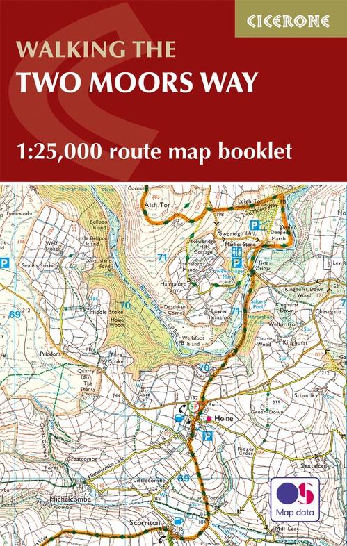
All the mapping you need to complete the Two Moors Way, Devon's coast to coast route between Wembury Bay and Lynmouth, including a section of the Erme-Plym Trail.
This booklet of Ordnance Survey 1:25,000 Explorer maps has been designed for convenient use on the trail. It shows the full and up-to-date line of the Two Moors Way, along with the relevant extract from the OS Explorer map legend. It is conveniently sized for slipping into a jacket pocket or top of a rucksack and comes in a clear PVC sleeve.
NOTE: An accompanying Cicerone guidebook - The Two Moors Way - describes the route south to north, with summary directions for walking north to south. It contains lots of other practical information, and background notes on points of interest along the route, for those who prefer a written guide. The accompanying guidebook INCLUDES a copy of this map booklet.
Reviews
Geen reviews gevonden voor dit product.
Schrijf een review
Graag horen wij wat u van dit artikel vindt. Vindt u het goed, leuk, mooi, slecht, lelijk, onbruikbaar of erg handig: schrijf gerust alles op! Het is niet alleen leuk om te doen maar u informeert andere klanten er ook nog mee!
Ook interessant voor europa/engeland/devon-cornwall
-

Wegenkaart - landkaart Pocket Map De
€ 7,95Wegenkaarten ♦ Devon - Cornwall -

Wandelkaart - Topografische kaart 14
€ 19,50Topografische kaarten ♦ Devon - Cornwall -

Fietskaart 01 Cycling guides Cornwal
€ 15,95Fietskaarten ♦ Devon - Cornwall -

Wegenatlas Local Explorer Street Atl
€ 23,95Wegenatlassen ♦ Devon - Cornwall -

Wandelgids 5986 Wanderführer Cornwal
€ 18,50Wandelgidsen ♦ Devon - Cornwall