Winkelwagen
Geen items in winkelwagen
Ga naar winkelwagen
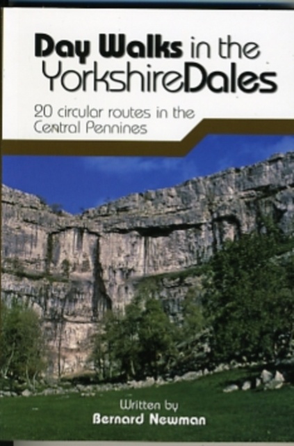
Wandelgids Day Walks in the Yorkshire Dales | Vertebrate Publishing (9781906148225)
20 circular routes in the Central
- ISBN / CODE: 9781906148225
- Editie: 2010
- Aantal blz.: 144
- Auteur(s): Bernard Newman
- Uitgever: Vertebrate Publishing
- Soort: Wandelgids
- Serie: Day Walks
- Taal: Engels
- Hoogte: 17.5 cm
- Breedte: 12.0 cm
- Dikte: 1.0 cm
- Uitvoering: -
- Bindwijze: Paperback
- Schrijf als eerste een review
-
€ 20,95
Dit artikel is (tijdelijk) niet leverbaar
Beschrijving
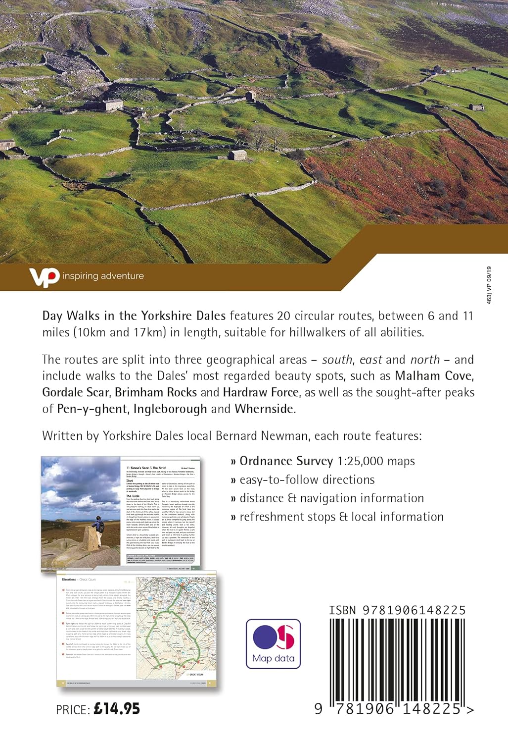
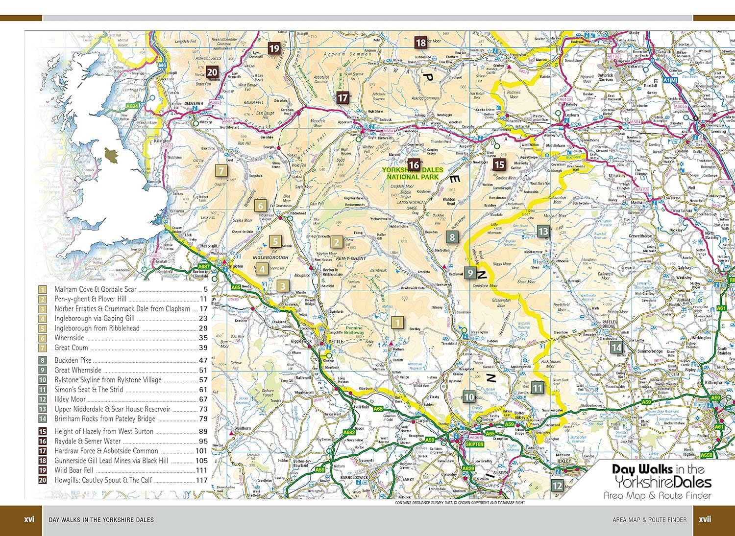
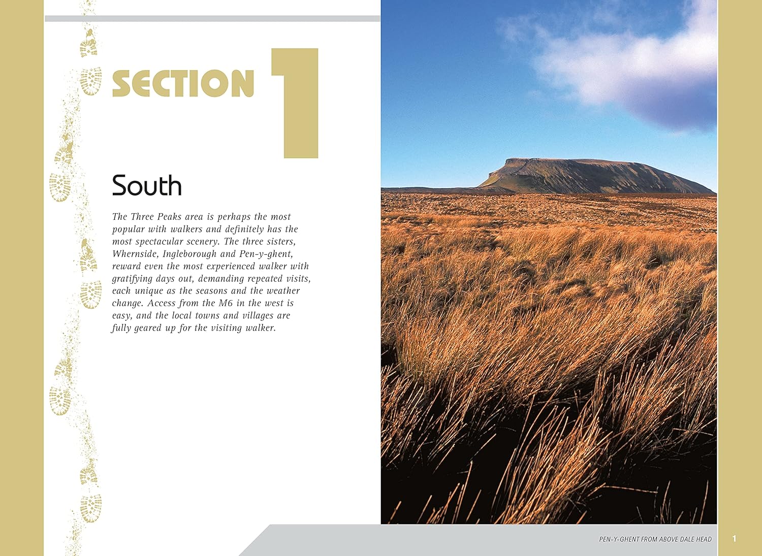
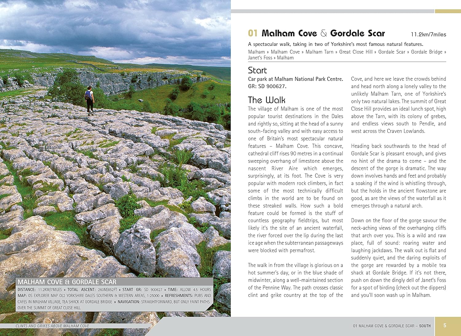
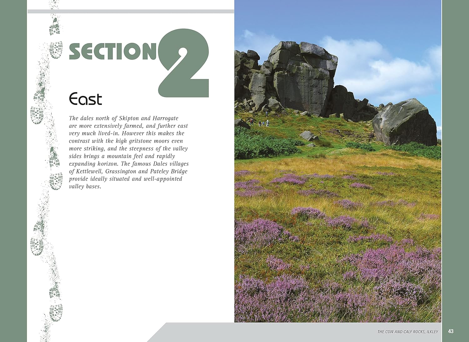
Day Walks in the Yorkshire Dales is the fourth title in Vertebrate Publishing's series of compact and portable hillwalking guidebooks. This book showcases 20 circular walks in the Yorkshire Dales National Park, between 6 and 11 miles (10 and 17 kilometres) in length, suitable for hillwalkers of all abilities. The routes are split into three geographical areas - south, east, and north - and include walks to the Dales' most regarded beauty spots, such as Malham Cove, Gordale Scar, Brimham Rocks and Hardraw Force, as well as the trio of sought-after peaks Pen-y-ghent, Ingleborough and Whernside.
The author of this guidebook, Bernard Newman, is a freelance outdoor writer and photographer, and former editor of the internationally acclaimed Mountain magazine. A Yorkshire Dales local and graduate geologist, in his route descriptions he explores the incredible geology that has created the breathtaking scenery on show in the Dales. Each route in this guide is described with easy-to-follow directions and details of distance, navigation information, refreshment stops and is plotted on clear and easy to use Ordnance Survey 1:25,000 mapping.
Reprinted in 2019 with updated mapping and revisions.
Reviews
Geen reviews gevonden voor dit product.
Schrijf een review
Graag horen wij wat u van dit artikel vindt. Vindt u het goed, leuk, mooi, slecht, lelijk, onbruikbaar of erg handig: schrijf gerust alles op! Het is niet alleen leuk om te doen maar u informeert andere klanten er ook nog mee!
Alle gerelateerde rubrieken >
Ook interessant voor europa/engeland/yorkshire-dales-nationaal-park
-

Wandelkaart - Topografische kaart OL
€ 19,50Topografische kaarten Yorkshire and the Humber -

Wandelgids 15 Short Walks Short Walk
€ 13,95Wandelgidsen Yorkshire and the Humber -

Reisgids Yorkshire | Rough Guides
€ 20,95Reisgidsen Yorkshire and the Humber -

Wandelatlas The Dales Way Map Bookle
€ 10,50Wandelatlassen Yorkshire and the Humber -

Fietskaart Yorkshire Dales for Cycli
€ 16,55Fietskaarten ♦ Yorkshire Dales Nationaal Park