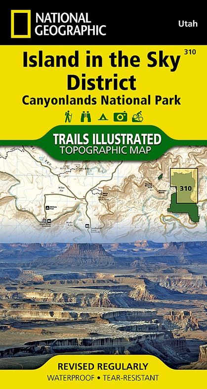
Wandelkaart - Topografische kaart 310 Island in the Sky District - Canyonlands National Park | National Geographic (9781566954600)
- ISBN / CODE: 9781566954600
- Editie: 01-12-2022
- Aantal blz.: 1
- Schaal: 1:35000
- Uitgever: National Geographic
- Soort: Topografische kaart, Wandelkaart
- Taal: Engels
- Hoogte: 19.0 cm
- Breedte: 10.0 cm
- Gewicht: 95.0 g
- Uitvoering: Scheur- en watervast
- Schrijf als eerste een review
-
€ 14,95
Leverbaar in 3 - 5 werkdagen in huis in Nederland Levertijd Belgie
Gratis verzending in Nederland vanaf €35,-
-
Overzicht Wandelkaarten Utah Trails Illustrated National Geographic
Producten op deze overzichtskaart:
Klik op een product om naar de pagina van dat product te gaan.
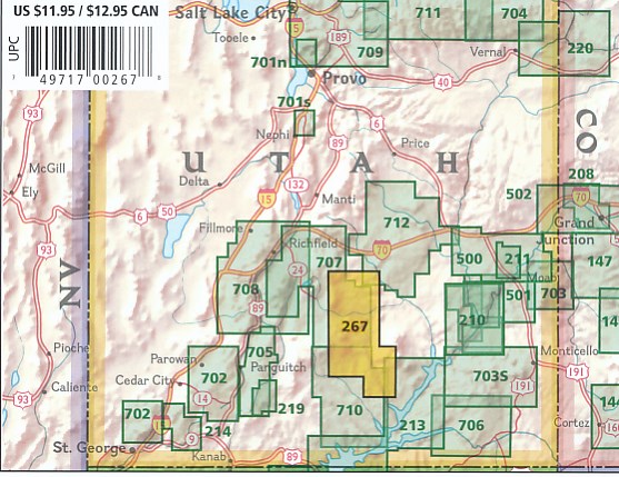
- Wandelkaart - Topografische kaart 210 Canyonlands National Park | National Geographic
- Wandelkaart - Topografische kaart 211 Arches National Park | National Geographic
- Wandelkaart - Topografische kaart 214 Zion National Park | National Geographic
- Wandelkaart - Topografische kaart 219 Bryce Canyon National Park | National Geographic
- Wandelkaart - Topografische kaart 220 Dinosaur National Monument | National Geographic
- Wandelkaart 267 Capitol Reef National Park | National Geographic
- Wandelkaart - Topografische kaart 310 Island in the Sky District - Canyonlands National Park | National Geographic
- Wandelkaart - Topografische kaart 311 Needles District - Canyonlands National Park | National Geographic
- Wandelkaart - Topografische kaart 312 Maze District - Canyonlands National Park | National Geographic
- Wandelkaart - Topografische kaart 702 Cedar Mountain - Pine Valley Mountain - Dixie National Forest | National Geographic
- Wandelkaart - Topografische kaart 703 Manti La-Sal National Forest | National Geographic
- Wandelkaart - Topografische kaart 704 Flaming Gorge National Recreation Area | National Geographic
- Wandelkaart - Topografische kaart 705 Paunsaugunt Plateau - Mount Dutton - Bryce Canyon | National Geographic
- Wandelkaart - Topografische kaart 707 Central Capitol Reef - Fish Lake North | National Geographic
- Wandelkaart - Topografische kaart 710 Canyons of the Escalante - Grand Staircase-Escalante National Monument | National Geographic
Overzichtskaarten
Beschrijving
Prachtige geplastificeerde kaart van het nationaal park. Met alle recreatieve voorzieningen als campsites, maar ook met topografische details en wandelroutes ed. Door uitgekiend kleurgebruik zeer prettig in gebruik. Scheur en watervast!
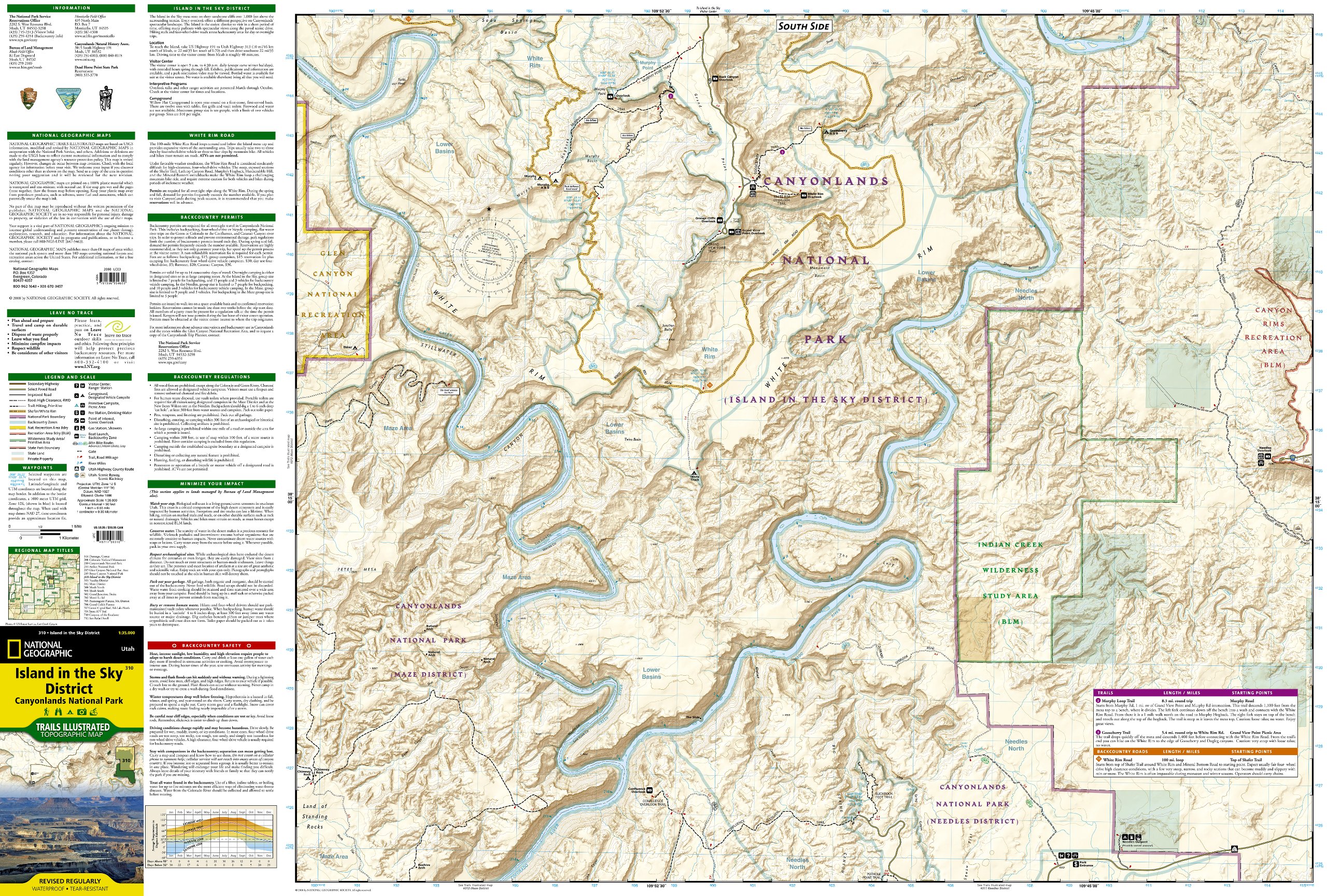
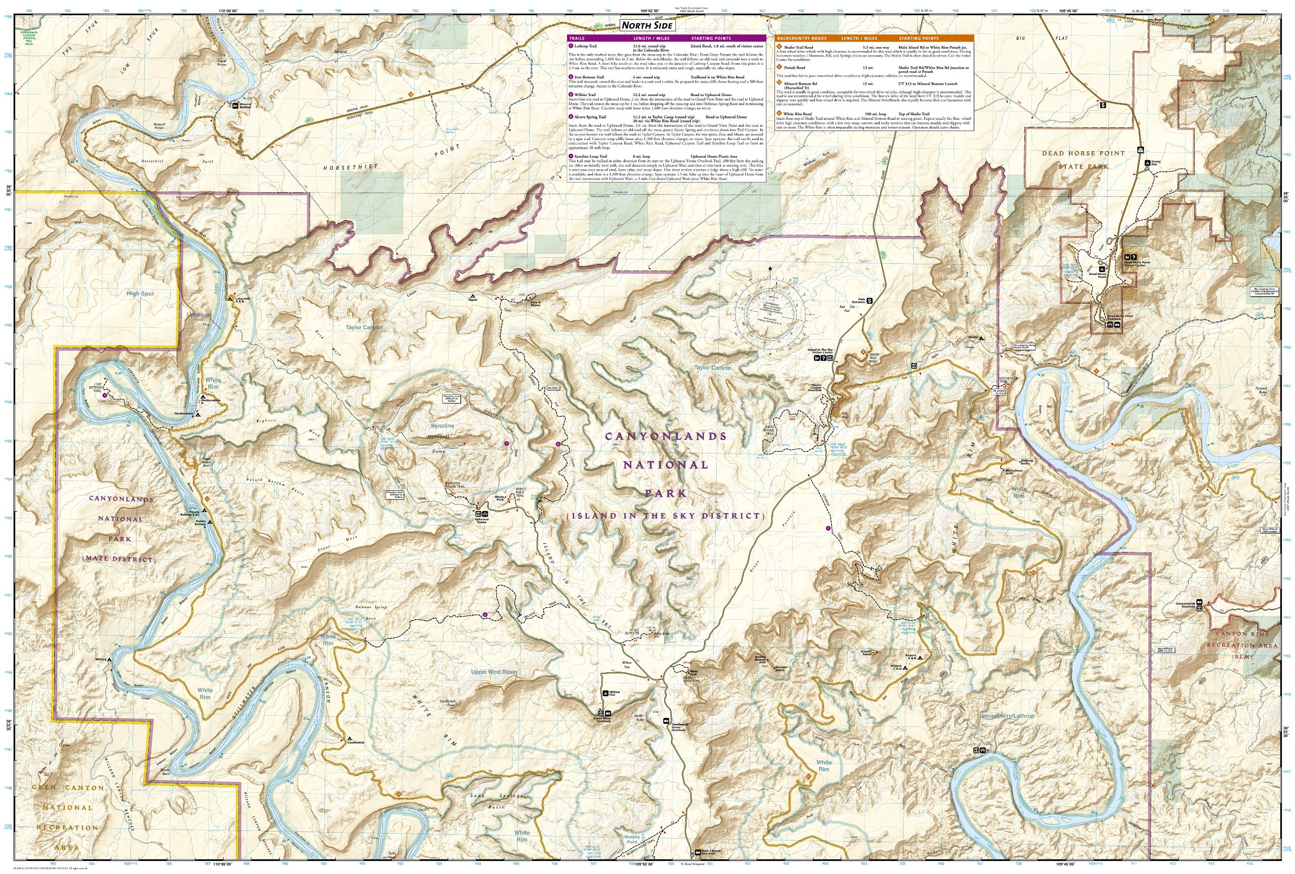
This sectional map of Canyonlands National Park zooms in on the Island in the Sky District in the northern area of the park. This map provides more detail of this area than the full Canyonlands National Park map with an enhanced scale. The map includes trail and backcountry road charts, backcountry zones and campsites, trail and road mileages, as well as backcountry permit and regulations information.
Reviews
Geen reviews gevonden voor dit product.
Schrijf een review
Graag horen wij wat u van dit artikel vindt. Vindt u het goed, leuk, mooi, slecht, lelijk, onbruikbaar of erg handig: schrijf gerust alles op! Het is niet alleen leuk om te doen maar u informeert andere klanten er ook nog mee!
Ook interessant voor noord-amerika/verenigde-staten-van-amerika/nationale-parken
-

Vogelgids Sibley Field Guide to Bird
€ 25,95Vogelgidsen Alberta -

Wegenkaart - landkaart 3121 United S
€ 17,50Wegenkaarten Rocky Mountains -

Wegenkaart - landkaart 7 USA südwest
€ 13,95Wegenkaarten Zuidwest USA -

Wandelkaart - Topografische kaart 22
€ 16,95Topografische kaarten Nationale Parken Verenigde Staten van Amerika -

Reisgids Capitool Reisgidsen USA Zui
€ 28,99Reisgidsen Nationale Parken Verenigde Staten van Amerika