Wegenkaarten - Oceanië
 Wegenkaart - landkaart Australia South & Northern Territory | ITMB
Australia was one of the first countries ITMB published, back in the 1980s, albeit a licensed version. Our own original artwork was completed in the mid-1990s, but until recently, we …
 Wegenkaart - landkaart Western Australia | ITMB
The State of Western Australia occupies the western third of the continental country of Australia. The main city is Perth, in the southwest portion, and this is the part of …
 Wegenkaart - landkaart New Zealand North Island | ITMB
ITMB is very pleased to be expanding our coverage of New Zealand with the release of this fourth title (the others being the country map, the South Island, and Auckland). …
 Wegenkaart - landkaart South America and Antarctica | National Geographic
• Waterproof • Tear-Resistant • Reference Map Expertly researched and designed, National Geographic's South America and Antarctica Flags & Facts Map is the authoritative map of South America by …
 Wegenkaart - landkaart Australia and Oceania | National Geographic
• Waterproof • Tear-Resistant • Reference Map Expertly researched and designed, National Geographic's Australia and Oceania Flags & Facts Map is the authoritative map of Australia by which other …
 Wegenkaart - landkaart Touring Maps The Great Ocean Road | Collins
Full color, informative map of the popular Great Ocean Road. With detailed mapping, key tourist information and a suggested itinerary, this is a perfect guide for anyone traveling around Australia’s …
 Wegenkaart - landkaart New South Wales, Victoria, & Tasmania | ITMB
Een degelijke wegenkaart , schaal 1:1.900.000, met aanduidingen van o.a. nationale parken, vliegveld, benzinepomp, dirt-roads. Als overzichtskaart goed te gebruiken. We are pleased to announce the completion of our regional …
 Wegenkaart - landkaart Explorer Map Nullarbor Plain - Eastern Map | Hema Maps
This map is part of Hema's new Nullarbor Plain Map Series (East and West) and covers Border Village to Port Pirie including the Eyre Peninsula. Truly one of the …
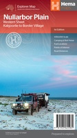 Wegenkaart - landkaart Explorer Map Nullarbor Plain - Western Map | Hema Maps
This map is part of Hema's new Nullarbor Plain Map Series and covers the area from Kalgoorlie to Border Village and its surrounds. Truly one of the worlds great …
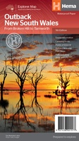 Wegenkaart - landkaart Explorer Map Outback New South Wales Map | Hema Maps
A regional map of outback NSW (1:1,100,000) that ranges from Tamworth in the east to Broken Hill in the west, as well as from Wagga Wagga in the south to …
★★★★★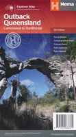 Wegenkaart - landkaart Explorer Map Outback Queensland | Hema Maps
Outback Queensland Map (4th edition - now on Waterproof Paper) Outback Queensland (QLD) contains mapping and visitor information for one of the most iconic regions in Australia. Mapping at a …
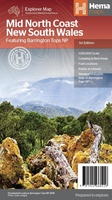 Wegenkaart - landkaart Explorer Map Mid North Coast, New South Wales | Hema Maps
Detailkaart van een deel van Australië. Zeer goed leesbaar, met naast de topografische details veel symbolen waarmee allerhande toeristische zaken worden aangeduid als campsites, nationale parken, attracties, wandelmogelijkheden etc. A …
Laatste reviews

Duidelijke kaart, ook met kleinere wegen. Snelle levering
★★★★★ door Ger Sulkers 02 mei 2024 | Heeft dit artikel gekocht
Ja wij zijn tevreden, alleen is mijn vriendin het boekje al kwijtgeraakt bij onze eerste wandeling.🙁
★★★★★ door Mark 02 mei 2024 | Heeft dit artikel gekocht
Ja ik ben dik tevreden over de wegenkaart van Kazachstan. Stond alles op wat ik wou dus heel erg tevreden daarover.
★★★★★ door Sjoerd Westra 02 mei 2024 | Heeft dit artikel gekocht
Zoals altijd mooie verzorgde kaarten die tijdens de reis van pas komen en achteraf mooie herinneringen oproepen.
★★★★★ door Klaas Wijnberg 02 mei 2024 | Heeft dit artikel gekocht